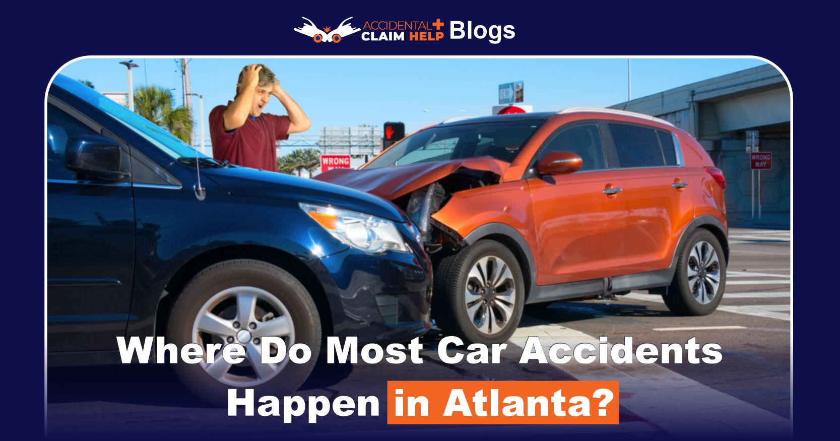
Where Do Most Car Accidents Happen in Atlanta?
Atlanta sees a high volume of crashes each year – roughly 28,000–30,000 according to police records – which means drivers should know the city’s most dangerous spots. In Atlanta, busy highways and complex urban intersections account for many wrecks. One of the most notorious accident hotspots is the Downtown Connector, the stretch where Interstates 75 and 85 merge, known for heavy traffic and frequent collisions.
For example, crash-data records show 34,182 traffic accidents in Atlanta in 2023. These crashes resulted in dozens of fatalities and hundreds of serious injuries. Atlanta’s multi-car collisions caused 60 deaths and 817 severe injuries in 2023.
By contrast, Atlanta Police reported about 28,278 accidents in 2023 (down slightly from 29,938 in 2022). The city’s fatality count has also risen: for instance, 96 people died on Atlanta roads in 2021 and 88 in 2022. Altogether, Atlanta’s fatal crash rate (15.4 per 100,000 people) is slightly higher than the national average. In short, Atlanta drivers face a significant crash risk on certain corridors and streets, and identifying those locations is key to staying safe.
Most Dangerous Intersections in Atlanta
Certain intersections lead the list of Atlanta-area crash hot spots. Local traffic studies show a handful of intersections with dozens of crashes per month. For example, one investigation found Memorial Drive & North Hairston Road (in DeKalb/Stone Mountain) had about 22 crashes in one month – the highest count in the metro area. In Atlanta city proper, other notorious intersections include:

- Piedmont Avenue & Monroe Drive (Midtown) – a busy crossroads near shopping and the BeltLine. Vehicles, pedestrians and transit all converge here, and impatient drivers running reds often cause side-impact and rear-end collisions.
- Moreland Avenue & Ponce de Leon Avenue (Candler Park) – a congested urban intersection with heavy pedestrian traffic. Crashes here often involve T-bone collisions when drivers run red lights or race through yellow signals.
- Camp Creek Parkway & I-285 (Grove Park/Camp Creek area) – at this off-ramp from the Perimeter highway, merging vehicles often collide. Drivers entering/exiting I-285 at high speed may fail to yield, leading to rear-end and sideswipe crashes.
- Downtown Connector (I-75/I-85) – although not a single intersection, the downtown merge of I-75 and I-85 is notorious for crashes. Frequent lane changes and heavy congestion during rush hours contribute to many multi-vehicle pileups, especially near the 14th Street Bridge.
- Ga. 400 & I-285 (North Metro) – the busy interchange of GA-400 and I-285 sees numerous accidents, especially during ongoing construction. Sudden lane shifts and heavy merging traffic make this a dangerous area.
Each of these spots is characterized by high traffic volume and confusing traffic patterns. Several top accident locations – such as East Park Place & Stone Mountain Highway or Covington Highway & Lithonia Road – lie just outside Atlanta’s city limits, but they underscore the region’s trouble spots.
Hazardous Highways and Roads
Atlanta’s major freeways are common scenes of serious crashes. High-speed corridors combine dense traffic with aggressive driving. Key trouble zones include:
- I-75/I-85 Downtown Connector (North/South through Midtown) – This central highway “bottleneck” carries heavy commuter traffic. Sudden merging and stop-and-go conditions here routinely produce rear-end and multi-car crashes.
- I-285 (Perimeter Highway) – As Atlanta’s ring road, I-285 sees extreme congestion and frequent speed variations. Heavy trucks mixing with passenger cars and short merges (especially near interchanges) lead to serious wrecks. The west side of the Perimeter near Camp Creek Parkway is particularly crash-prone due to mixed local-commercial traffic.
- I-20 (East-West Freeway) – I-20 is another major commuter route. Many crashes occur around its on- and off-ramps, where drivers fail to adjust speed for merging. Construction zones on I-20 also increase risk, as shifting lanes and unclear signage confuse drivers.
- GA-400 (Northside Connector) – North of Buckhead, GA-400 carries heavy volumes at high speed. Areas near the I-285 interchange have seen numerous collisions due to sudden merges and frequent lane changes.
Other busy routes – Corridors like Buford Highway (US-23), Metropolitan Parkway, and Campbellton Road also report high crash counts, often from speeding or red-light running on long stretches between traffic lights.
Related Post: Most Dangerous Highways in the US
High-Risk Neighborhoods and Local Streets
Beyond freeways, certain urban areas see frequent accidents. Neighborhoods with a mix of cars, bikes, and pedestrians often suffer crashes:
- Virginia-Highland & East Atlanta Village – Residential areas with many schools and four-way stops. Rush-hour rushes here cause parents to speed through crosswalks or roll stop signs. Distracted or impatient drivers in these narrow, tree-lined streets often fail to yield, leading to crashes involving other cars, pedestrians or cyclists.
- Midtown Atlanta – The gridded downtown streets have confusing one-way systems and heavy foot traffic. Crashes commonly happen when a driver misses a one-way sign or turns incorrectly. Busy corridors like Ponce de Leon Avenue through Midtown are also crash magnets due to high speeds, lots of pedestrians, and tricky merge intersections.
- Buckhead/Lenox Area – Commercial strips in Buckhead (Buford Hwy, Piedmont Rd) see frequent fender-benders. Lenox Square Mall’s parking lot is notorious for minor collisions as drivers back out of crowded spaces.
- Airport vicinity – The multi-level parking decks at Hartsfield-Jackson ATL see frequent accidents. Drivers rushing to catch flights or exiting tight spaces often misjudge lanes, leading to collisions and pedestrian hazards.
- Atlanta BeltLine access points – While the BeltLine trail is car-free, street intersections at its entry/exit points (e.g. near Ponce City Market or Old Fourth Ward) are high-risk. Drivers turning near BeltLine crossings often fail to spot pedestrians or cyclists, causing serious accidents.
- Peachtree Street (Downtown/Midtown) – Atlanta’s main boulevard is lined with shops and offices. Constant stop-and-go traffic and jaywalking pedestrians make this a frequent crash area. Left turns on Peachtree often lead to T-bone crashes, and drivers distracted by the cityscape may not notice brake lights ahead.
Contributing Factors
Several common factors make these locations dangerous:
- Distracted driving – The leading cause of crashes in Atlanta. In 2023, nearly 39.4% of multi-vehicle collisions were attributed to distracted drivers (e.g. texting, adjusting GPS, eating).
- Speeding and tailgating – Many Atlantans drive above the limit on highways like I-285 and I-20. Excessive speed leaves little reaction time for sudden stops. Tailgating is also common: in 2023 it caused over 3,200 crashes, contributing to Atlanta’s 12,218 rear-end collisions.
- Alcohol-impaired driving – DUI crashes spike late at night and in entertainment districts. In Atlanta, crashes involving drunk drivers account for a large share of fatal wrecks.
- Aggressive & congested traffic – Atlanta’s infamous rush-hour gridlock leads to risky behaviors. Stuck drivers often weave between lanes, speed up to beat lights, or tailgate.
- Poor road design or signage – Some intersections have odd angles or inadequate signs. Complex merges (common on freeways) and confusing one-way systems also lead to misjudgments.
- Weather and visibility – Atlanta’s sudden rainstorms or occasional ice cause extra wrecks. Slick roads and glare reduce stopping distance, so wet-weather crashes are common.
- Time of day – Crashes cluster during rush hours (morning and evening commutes) when volume peaks, and again late at night from 12–3 AM due to impaired or fatigued drivers.
Official Data and Reports
State and city data back up these observations. The Georgia Governor’s Office of Highway Safety publishes crash facts showing that traffic fatalities in the Atlanta metro area climbed sharply in recent years (from 501 in 2018 to 623 in 2022). In Atlanta city limits alone, GDOT’s Crash Data Dashboard reports a total of 182,521 crashes between 2018–2022, claiming 387 lives and injuring 69,113 people. For 2023, Atlanta’s crash data portal records 77 fatal traffic crashes, confirming that roughly 1–2 people die each week in Atlanta traffic. Meanwhile, Atlanta Police’s Open Data logs of traffic incidents align with these figures (about 30,000 accidents per year).
In short, both city and state reports highlight that urban Atlanta remains a crash hotspot. The risk of a fatal crash in the city (15.4 deaths per 100,000 residents) is higher than the U.S. average, even though Georgia as a whole has an even higher rate. The data also show rising numbers of pedestrians and cyclists killed in Atlanta. All of this underscores why knowing the specific trouble spots (and the data behind them) is essential for safety planning.
Safety Tips for Driving in High-Risk Areas
While no one can avoid all accidents, drivers can reduce their risk by adopting safe habits, especially in Atlanta’s trouble zones. Key defensive-driving tips include:
- Stay alert at busy intersections – Slow down as you approach and double-check for cross traffic. When turning, pause a beat at yellow lights or stop signs – even if you “have the right of way.”
- Minimize distractions – Put your phone away. Use “Do Not Disturb” modes or pull over to change your GPS.
- Watch your speed and following distance – Always leave extra space between you and the car ahead – Atlanta’s stop-and-go traffic means sudden braking is common.
- Be extra cautious in bad weather – When roads are wet or visibility is low, slow down even more.
- Use safety gear – Always wear seat belts and ensure passengers do too.
- Plan your route – If possible, avoid the worst corridors during peak hours.
- Stay sober and well-rested – Never drive impaired.
- Pay attention to pedestrians and cyclists – Yield to pedestrians at crosswalks and scan for cyclists before turning.
Conclusion
Atlanta’s worst crash locations are those with heavy traffic and complex driving conditions. Busy highway interchanges (I-75/I-85, I-285, I-20) and congested city intersections (Memorial & Hairston, Moreland & Ponce, Piedmont & Monroe, etc.) top the list. Understanding why these spots are hazardous – from speeding and distractions to confusing layouts – allows drivers to take precautions. Using the latest state and local data, safe driving habits, and a healthy dose of caution in these areas can keep you out of harm’s way on Atlanta’s roads.


